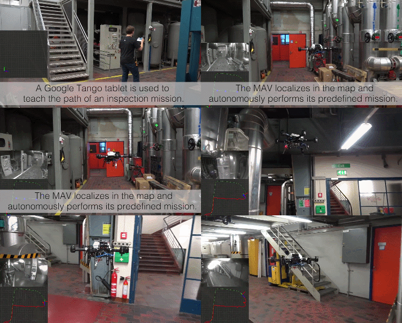
Drones are quire useful in inspection of hazardous environments. Showing them how to complete a mission is going to be easier with this visual-inertial teach & repeat system powered by Google Tango. A tablet is used to teach the path of an inspection mission to multicopters.
When GPS is not available, localization is achieved using a camera. Points of interest can be marked for detailed inspection. More info is available here.