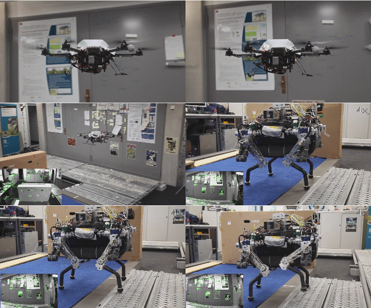
Walking robots are getting smarter all the time. Navigating unknown terrain still remains a challenge for them. As the below video shows, it is possible to use a flying drone to map unknown areas and transmit the relevant data to the walking robot to help it get to its destination while avoiding obstacles.
More like this ➡️ here
Collaborative Navigation for Flying and Walking Robots
The drone in the video uses a camera to map an area and provide slope steepness, max step height, roughness, and other data to the walking robot. The map is constantly updated to allow the legged robot navigate towards its destination. More information is available here.
*Our articles may contain aff links. As an Amazon Associate we earn from qualifying purchases. Please read our disclaimer on how we fund this site.


![Amazon Prime Air’s First Customer Delivery [Video]](https://www.roboticgizmos.com/wp-content/uploads/2016/12/14/amazon-drone-100x75.jpg)


